Land Surveying
Land Surveying
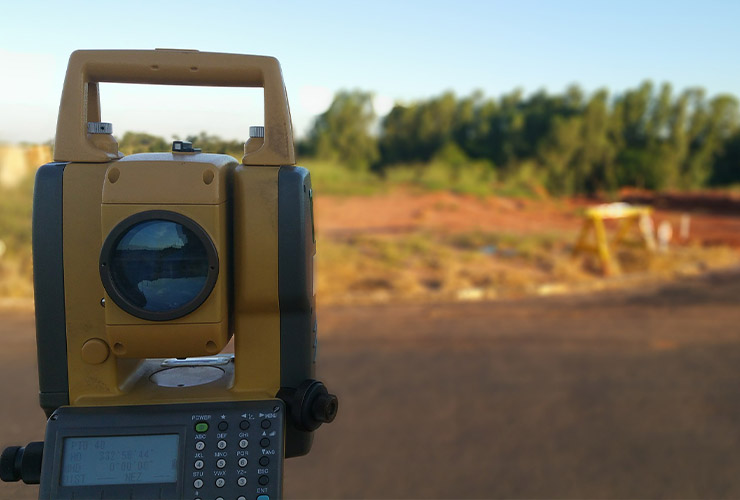
Regardless of the project size, land surveying provides the ability to ensure the design and planning of a project is developed without the consequence of interference and unknown challenges. At Cobalt, we possess the experience and knowledge to deliver comprehensive land surveying services for projects of all magnitudes. Enhanced by experienced survey crews, we employ the latest technology in total stations, robotics, scanning, LIDAR, Civil 3D, and CAD to furnish our clients with accurate and efficient production deliverables.
Our comprehensive land surveying services include, but are not limited to:
Boundary survey: A boundary survey is a meticulous examination of a property that locates and marks the precise boundaries of the land to ascertain accurate property ownership.
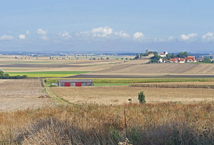
Topographic surveys: A topographic survey is a vital map that utilizes aerial photos, GPS data, and measured ground features to depict the terrain authentically.
Right-of-way mapping: This helps identify existing access and ownership rights. Gaining an understanding of them can help circumvent potential land disputes.
Platting: Platting entails creating a detailed drawing of a land parcel, encompassing its boundaries, landmarks, and structures.

Construction support: This method in land surveying aids in creating detailed land measurements and plans, enabling proper planning and execution of any construction project.
As-built survey: As-built surveys measure and document the current physical features of a property. It's a quintessential tool in land surveying to vouch for the accuracy and completeness of the survey.
Construction staking: This land surveying technique marks the location of impending construction, ensuring buildings, roads, and other structures align with the project's design criteria.
Recognizing that survey needs fluctuate depending on the project, our team remains adaptable, adjusting our services to any distinct requirements. Our commitment remains unwavering: to uphold the highest standard of professional land surveying services.
Whether your requirement is a straightforward boundary survey for a single lot or a topographic survey for a grand development venture, we stand ready to assist. Reach out today to converse about your project and acquaint yourself further with our land surveying expertise.